0151 355 3160
sales@leighstationers.co.uk
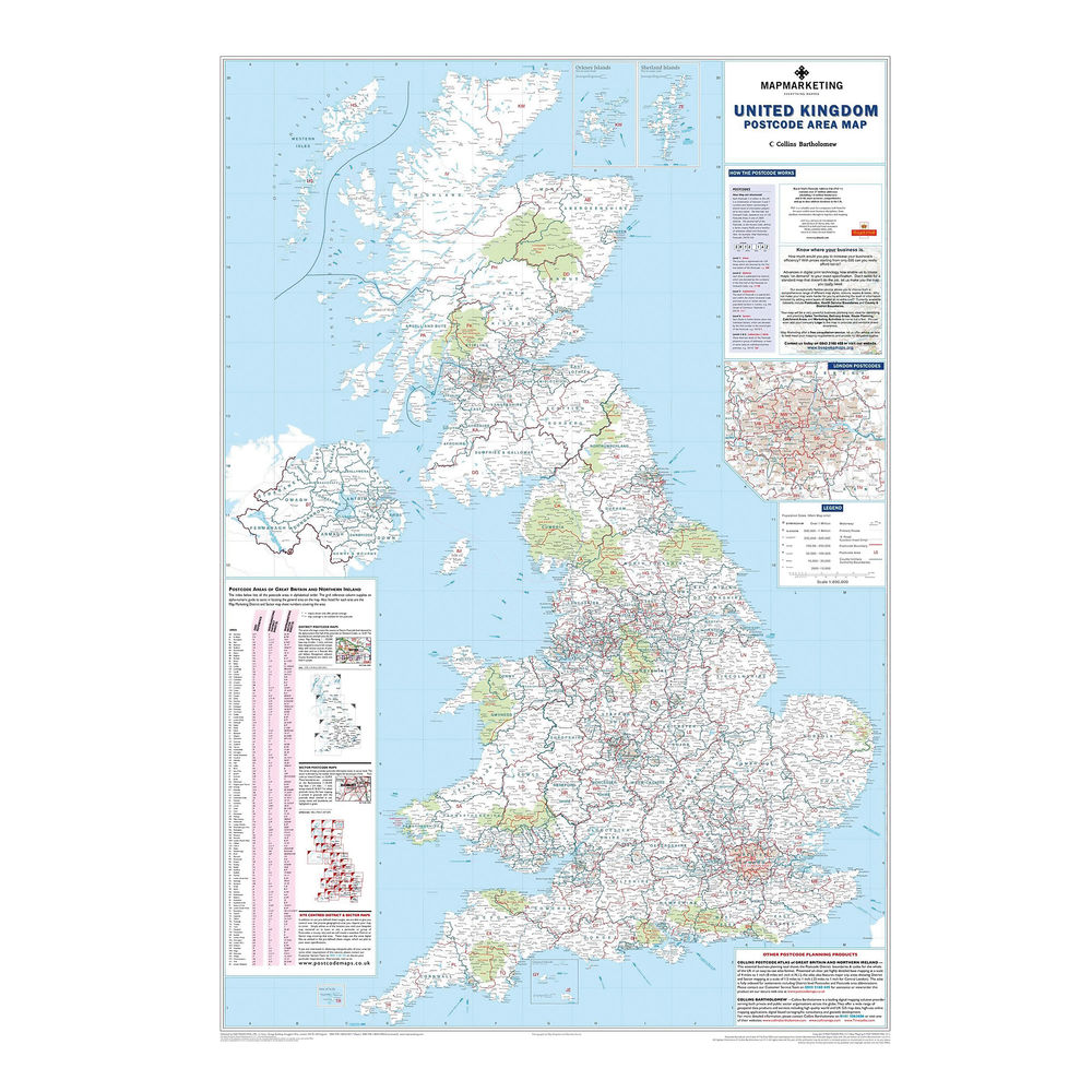
This map shows the clear boundaries of every postcode area, plus their corresponding letters, and includes a handy index to rapidly find any postcode area on the map by letter. It also provides information on the structure of a postcode for reference. It also provides boundaries for counties and unitary authorities, correct as of the most recent adjustments from 2009.
- A laminated map of UK postcode areas, counties, and unitary authorities
- Shows postcode area boundaries and corresponding letters
- Shows roads, motorways, and settlements from 2,000 to 1 million-plus
- Includes London inset and handy postcode locator
- Measures 1200 x 830mm, scale 1:800,000
- 2011 edition: includes 2009 administrative changes
| Weight | 60 g |
|---|---|
| Dimensions | 1000 × 570 mm |


